The default data set for Ordnance Survey and now being used by a number of clients in the telematics industry, SpeedMap is an exciting product that is undergoing continuous development as we continue to develop the most accurate map of speed limits for roads in Great Britain and Ireland.
Utilising the extensive GIS skills and experience of the Insight Warehouse team and its associates, SpeedMap can really enhance your driver information app or telematics offering.
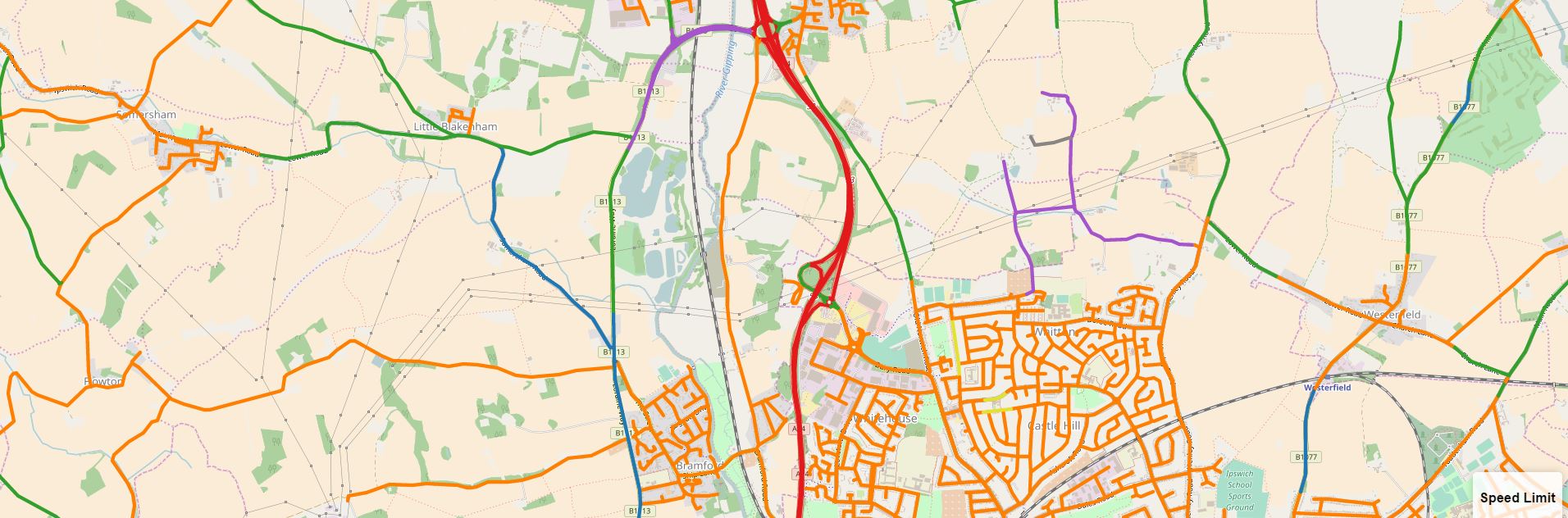
Speed limits change regularly and with no current national system for informing users of alterations providing a perfect solution is a challenge.
SpeedMap has been in development for over 9 years and is updated every two months. Independent tests show high levels of accuracy right across teh territories that we cover.
We are actively working with local authorities and road safety stakeholders who want to see improved levels of accuracy in telematics solutions. If you are interested in ensuring 100% accuracy on your roads please get in touch.